In a previous post, I mentioned that I received a Garmin Nuvi 265wt for my birthday. If you use GSAK for your geocaching, you can achieve paperless geocaching with a nice little macro. The main question, though, is if the Nuvi can actually get you to the cache. Here are the steps I followed to fairly easily find a micro cache.
First I selected the cache as my destination, with all the normal automobile driving settings. It directed me to the spot closest to the cache.
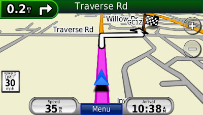
OK, now I'm about 80 feet from the cache, and need to exit the van and go off-road.
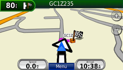
It's time to change some settings. Go to Tools->Settings.
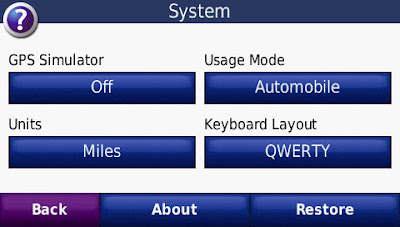
1. Go to System. Change Usage Mode from "Automobile"...
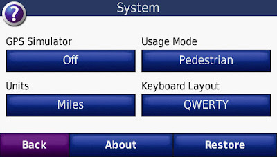
... to "Pedestrian".
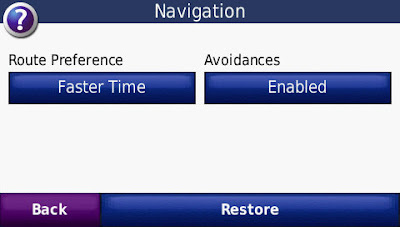
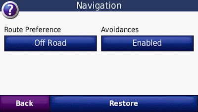
2. Go to Navigation. Change Route Preference from "Faster Time"...
... to "Off Road".
3. Go to Map. Change Map View from "3 Dimensional"...

... to "North Up".
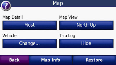
Now you'll see a slightly different look in the Map.
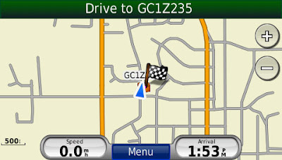
Zoom in as far as you can. Now you should see your pointer and the path to the cache. Since I've set North as up, the map stays steady. In the example below, I know that I need to just turn to the right a bit and start walking.
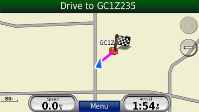
When you get close, you can touch the top green bar, to get to this screen:
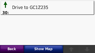
Hit the "Show Map" button and you'll get a nice little map:
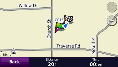
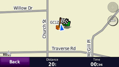
This is the only screen where I've seen the Distance show numbers less than 30 feet. When I took this screen shot, I was about 12 feet from the final destination of the cache:
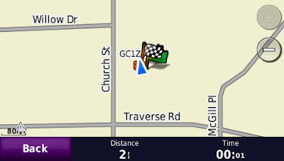
Now I'm back to 20 feet away, but I was actually sitting by the cache. I was in some light woods, and the signal bounced a bit, but I was able to pretty easily zero in on the right spot. I left it and came back for a closer look before I found the micro.
And here is the Satellite screen while I was sitting at the cache:
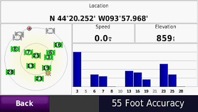
The cache page listed coordinates of: N 44° 20.252 W 093° 57.972, so that's pretty close.
There, I've done my civic duty.

4 comments:
If I owned a Garmin Nuvi and if I geocached, I would TOTALLY thank you. But I don't...so instead, I am going to ask for a new blog posting with pictures of your kids.
:)
I just bought a Nuvi 265WT for geocaching, so your post was really helpful to me, thanks!
Now I'm hoping you might be able to help with another question. I've read that "The [Garmin Nuvi] widescreen 200 series allows you to see your coordinates and it updates them constantly, this is really nice when you're trying to get right on top of the coordinates of a geocache." I've been playing a bit, but I haven't managed to figure out how to do this. Do you know how?
Hi! Thanks for the feedback. I assume that what you are asking about getting to the satellite page, which is the last picture in my post. To do this, you need to hold your finger on the Satellite bars (top left green bar icons on the home screen (click here for a picture of it)) for about three seconds.
I have found that I never use that page, and just get to the zoomed in map, zero in, and go from there. As usual, YMMV. Having GSAK and a premium Geocaching.com account make everything better, of course.
oh thank you thank you thank you!!! I have been trying to geocache with this thing for weeks and I was so frustrated I was ready to throw it into the river. I could be like 5 ft away and it would be telling me to proceed to the nearest road!
I had already figured out the automobile/pedestrian setting but it didn't seem to help much so I really appreciate the rest of this post in which you explained which other settings also need to be changed.
Thanks again, you have saved this particular receiver from a watery death!
Post a Comment